Mga Kategorya sa Anglesea
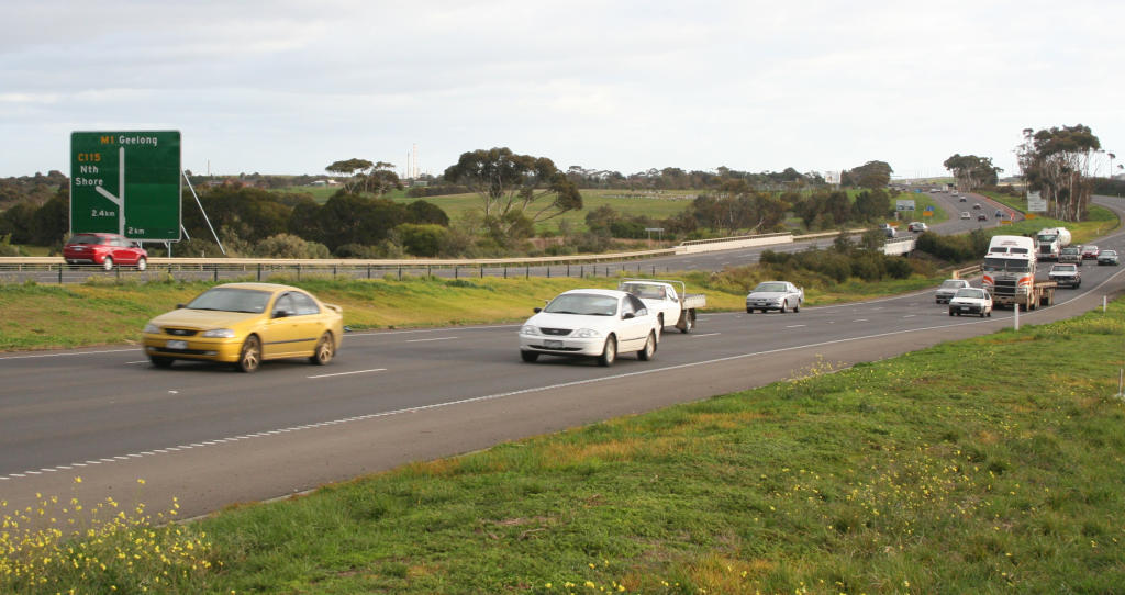
Mga Industriya
Pamamahagi ng Negosyo ayon sa Industriya sa Anglesea
| Paglalarawan ng Industriya | Bilang ng mga Establishment | Average na Rating ng Google |
|---|---|---|
| Shopping | 35 | 4.4 |
| Mga restawran | 24 | 4.3 |
| Mga cafĂŠ | 21 | 4.3 |
| Iba pang tuluyan | 18 | 4.3 |
| Mga General Kontraktor | 17 | 5 |
| Mga sports at libangan | 11 | 4.5 |
| Mga bahay bakasyunan, mga kabin, at resort | 10 | 4.4 |
| Mga campground | 10 | 4.5 |
| Konstruksyon ng mga gusali | 10 | 4.5 |
| Lahat ng pagkain at maiinom | 10 | 4.3 |
| Mga tindahan ng damit | 9 | 4.5 |
| Mga parke para sa publiko | 9 | 4.4 |
| Mga grocery store at supermarket | 7 | 4.1 |
| Mga Travel Agency | 6 | 4.5 |
| Sporting Goods | 6 | 4.3 |
| Mga hotel at motel | 5 | 4 |
| Mga painting at mga kontraktor ng mga painting | 5 | — |
| Tindahan ng mga hardware | 5 | 4.1 |
Mga Katotohanan ng Anglesea
| Area | 6.8 km² |
| Populasyon | 2,804 |
| Lalaki na populasyon | 1,360 (48.5%) |
| Populasyon ng Babae | 1,444 (51.5%) |
| Pagbabago sa populasyon (1975 to 2020) | +76.9% |
| Pagbabago sa populasyon (2000 to 2020) | +28.6% |
| Paggitnang Edad | 48.7 taon (Lalaki: 47.1, Babae: 50.3) |
| Lokal na Oras | |
| Oras ng Dako | Standard na Oras sa Silangang Australia |
| Lat & Lng | -38.40730, 144.18587 |
| Postal Code | 3230 |
Mapa ng Anglesea
Mapag-ugnay na Map
Populasyon ng Anglesea
Mga Taong 1975 hanggang 2020
| Data | 1975 | 1990 | 2000 | 2015 | 2020 |
|---|---|---|---|---|---|
| Populasyon | 1,585 | 1,950 | 2,180 | 2,733 | 2,804 |
| Densidad ng populasyon | 234.8 / km² | 288.9 / km² | 323 / km² | 404.9 / km² | 415.4 / km² |
Pagbabago sa populasyon ng Anglesea mula 2000 hanggang 2015
Pagtaas ng 25.4% mula taong 2000 hanggang 2015
| Lokasyon | Pagbabago mula 1975 | Pagbabago mula 1990 | Pagbabago mula 2000 |
|---|---|---|---|
| Anglesea | +72.4% | +40.2% | +25.4% |
| Victoria | +72.6% | +40.2% | +25.5% |
| Australia | +72.6% | +40.3% | +25.5% |
Gitnang Edad ng Anglesea
Gitnang Edad: 48.7 taon
| Lokasyon | Paggitnang Edad | Edad Median (Babae) | Edad Median (Lalaki) |
|---|---|---|---|
| Anglesea | 48.7 yrs | 50.3 yrs | 47.1 yrs |
| Victoria | 37.6 yrs | 38.6 yrs | 36.6 yrs |
| Australia | 37.7 yrs | 38.6 yrs | 36.8 yrs |
Density ng Populasyon ng Anglesea
Density ng Populasyon: 415 / km²
| Lokasyon | Populasyon | Area | Density |
|---|---|---|---|
| Anglesea | 2,804 | 6.8 km² | 415 / km² |
| Victoria | 5.9 million | 227,400.2 km² | 26.1 / km² |
| Australia | 23.8 million | 7,690,961.5 km² | 3.1 / km² |
Pangkasaysayan at Naipapalagay na Populasyon ng Anglesea
Tinatayang Populasyon mula 1850 hanggang 2100
- JRC (Joint Research Centre ng European Commission) trabaho sa GHS built-up grid
- CIESIN (Center for International Earth Science Information Network)
- [Link] Klein Goldewijk, K., Beusen, A., Doelman, J., and Stehfest, E.: Anthropogenic land use estimates for the Holocene – HYDE 3.2, Earth Syst. Sci. Data, 9, 927–953, https://doi.org/10.5194/essd-9-927-2017, 2017.
Pamamahagi ng Presyo
Distribusyon ng negosyo ayon sa presyo sa Anglesea
Human Development Index (HDI)
Ang istatistikong composite index ng pag-asa sa buhay, edukasyon, at kita sa bawat capita.
Mga Emisyon ng CO2 ng Anglesea
Carbon Dioxide (CO2) Mga Emisyon Per Capita sa Tonnes Per Year
| Lokasyon | Mga Emisyon ng CO2 | Mga Emisyon ng CO2 Per Capita | Intensidad ng Mga Emisyon ng CO2 |
|---|---|---|---|
| Anglesea | 53,592 tn | 19.11 tn | 7,939.5 tons/km² |
| Victoria | 101,123,087 tn | 17.02 tn | 444.7 tons/km² |
| Australia | 401,155,564 tn | 16.88 tn | 52.2 tons/km² |
| 2013 na mga emisyon ng CO2 (toneladang/taon) | 53,592 tn |
| 2013 na mga emisyon ng CO2 (toneladang/taon) bawat kapita | 19.11 tn |
| 2013 na intensity ng mga emisyon ng CO2 (toneladang/km²/taon) | 7,939.5 tons/km² |
Panganib sa Likas na Panganib
Relative risk out of 10
| Panganib | Risk Level |
|---|---|
| Earthquake | Medium (3.2) |
* Risk, particularly concerning flood or landslide, may not be for the entire area.
- Dilley, M., R.S. Chen, U. Deichmann, A.L. Lerner-Lam, M. Arnold, J. Agwe, P. Buys, O. Kjekstad, B. Lyon, and G. Yetman. 2005. Natural Disaster Hotspots: A Global Risk Analysis. Washington, D.C.: World Bank. https://doi.org/10.1596/0-8213-5930-4.
- Center for Hazards and Risk Research - CHRR - Columbia University, Center for International Earth Science Information Network - CIESIN - Columbia University. 2005. Global Earthquake Hazard Distribution - Peak Ground Acceleration. Palisades, NY: NASA Socioeconomic Data and Applications Center (SEDAC). https://doi.org/10.7927/H4BZ63ZS.
Karamihan sa mga Malalapit na Lindol
Magnitude 3.0 at mas malaki
| Petsa▼ | Oras↕ | Magnitude↕ | Distance↕ | Lalim↕ | Lokasyon↕ | Link |
|---|---|---|---|---|---|---|
| 5/1/13 | 4:41 PM | 3.1 | 41.8 km | 10,000 m | 7km N of Leopold, Australia | usgs.gov |
| 3/30/10 | 8:08 AM | 3 | 56.5 km | 10,000 m | near the southeast coast of Australia | usgs.gov |
| 9/22/09 | 8:20 AM | 3.1 | 94.1 km | 0 m | near the southeast coast of Australia | usgs.gov |
| 7/24/00 | 7:47 AM | 3.1 | 99.7 km | 10,000 m | near the southeast coast of Australia | usgs.gov |
| 11/8/92 | 1:40 AM | 3.6 | 48.9 km | 10,000 m | near the southeast coast of Australia | usgs.gov |
| 12/20/86 | 12:04 PM | 3.4 | 56.4 km | 10,000 m | near the southeast coast of Australia | usgs.gov |
| 6/16/81 | 9:33 PM | 4.3 | 48.1 km | 27,700 m | near the southeast coast of Australia | usgs.gov |
| 12/2/77 | 1:32 PM | 4.2 | 84.8 km | 33,000 m | near the southeast coast of Australia | usgs.gov |

Tungkol sa Aming Data
Ang data sa pahinang ito ay tinatantya gamit ang ilang publikong magagamit na mga tool at mapagkukunan. Ito ay ibinibigay nang walang warranty, at maaaring naglalaman ng mga kamalian. Gamitin sa iyong sariling panganib.