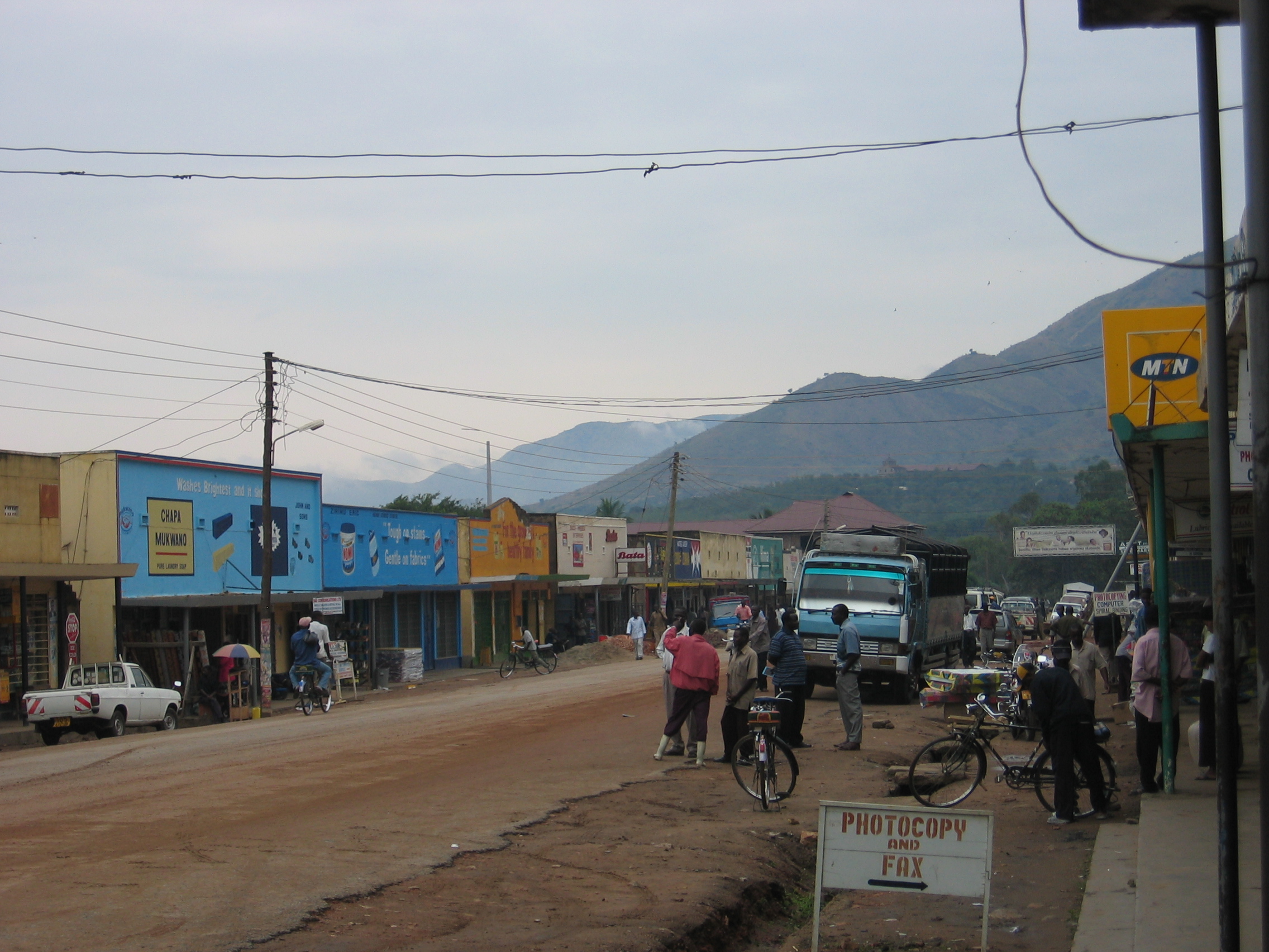
Mga Kategorya sa Ibanda
GasolinahanMga tindahan ng damitAsosasyon o SamahanCommunity centerMga simbahanOrganisasyon ng Serbisyong PanlipunanSimbahang KatolikoTindahan ng ElectronicsKalagayan ng BahayEdukasyonNursery SchoolPaaralang ElementaryaPamantasanMga bar, pub at tavernMga restawranMga BangkoMedikal na klinikMga OspitalSentrong MedikalComplex ng PabahayGusali ng ApartmentShopping MallHousing SocietyMga bed & breakfastMga hotel at motel
Mga Industriya
Pamamahagi ng Negosyo ayon sa Industriya sa Ibanda
| Paglalarawan ng Industriya | Bilang ng mga Establishment |
|---|---|
| Edukasyon | 29 |
| Shopping | 18 |
| Mga Ospital | 17 |
| Mga simbahan | 12 |
| Mga hotel at motel | 11 |
| Administrasyon ng publiko | 10 |
| Mga restawran | 8 |
| Iba pang tuluyan | 8 |
| Mga bar, pub at tavern | 8 |
| Kalusugan at medikal | 7 |
| Mga Bangko | 6 |
| Travel at transportasyon | 5 |
| Iba pang mga membership organization | 5 |
| Mas mataas na edukasyon (kolehiyo at unibersidad) | 5 |
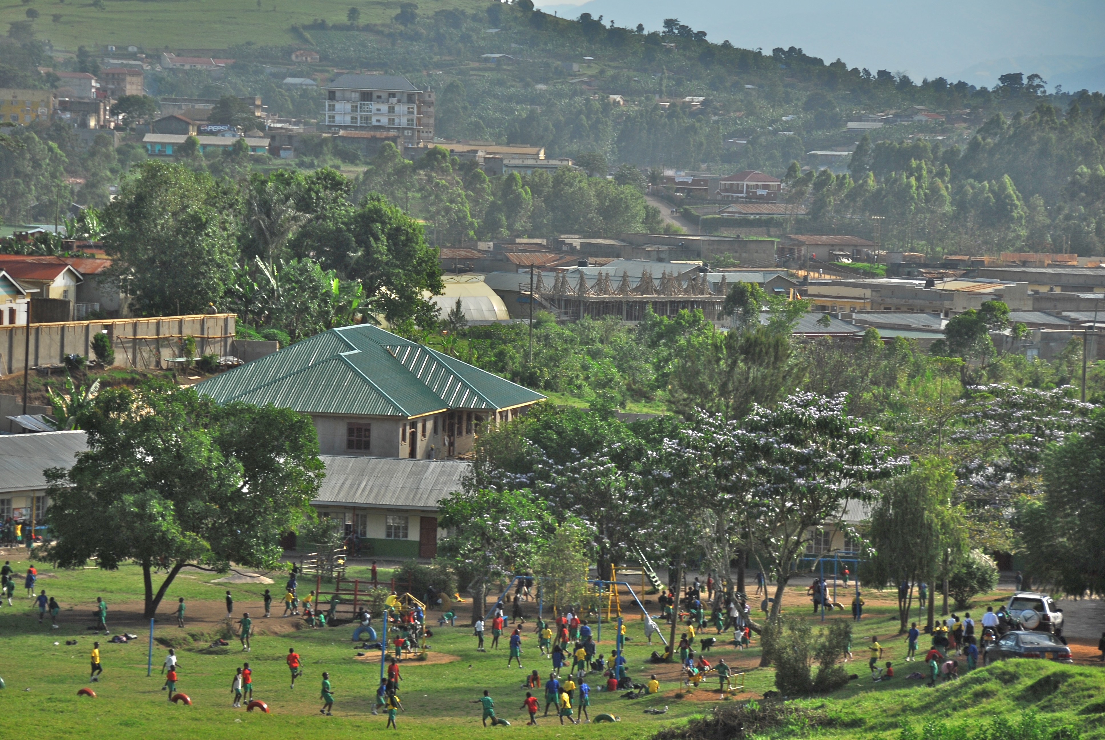
Mga Katotohanan ng Ibanda
| Area | 43.3 km² |
| Populasyon | 43,500 |
| Lalaki na populasyon | 20,823 (47.9%) |
| Populasyon ng Babae | 22,677 (52.1%) |
| Pagbabago sa populasyon (1975 to 2020) | +170.8% |
| Pagbabago sa populasyon (2000 to 2020) | +54.6% |
| Paggitnang Edad | 15.9 taon (Lalaki: 15, Babae: 16.8) |
| Area Codes | 485 |
| Lokal na Oras | |
| Oras ng Dako | Oras sa Silangang Africa |
| Lat & Lng | -0.13398, 30.49616 |
Mapa ng Ibanda
Mapag-ugnay na Map
Populasyon ng Ibanda
Mga Taong 1975 hanggang 2020
| Data | 1975 | 1990 | 2000 | 2015 | 2020 |
|---|---|---|---|---|---|
| Populasyon | 16,066 | 20,644 | 28,144 | 37,405 | 43,500 |
| Densidad ng populasyon | 370.9 / km² | 476.6 / km² | 649.8 / km² | 863.6 / km² | 1,004.3 / km² |
Mga Pinagmulan: JRC (Joint Research Centre ng European Commission) trabaho sa Built-up grid ng GHS
Pagbabago sa populasyon ng Ibanda mula 2000 hanggang 2015
Pagtaas ng 32.9% mula taong 2000 hanggang 2015
| Lokasyon | Pagbabago mula 1975 | Pagbabago mula 1990 | Pagbabago mula 2000 |
|---|---|---|---|
| Ibanda | +132.8% | +81.2% | +32.9% |
| Uganda | +261.4% | +125% | +64.6% |
Mga Pinagmulan: JRC (Joint Research Centre ng European Commission) trabaho sa Built-up grid ng GHS
Gitnang Edad ng Ibanda
Gitnang Edad: 15.9 taon
| Lokasyon | Paggitnang Edad | Edad Median (Babae) | Edad Median (Lalaki) |
|---|---|---|---|
| Ibanda | 15.9 yrs | 16.8 yrs | 15 yrs |
| Uganda | 15.9 yrs | 16.8 yrs | 15 yrs |
Mga Pinagmulan: CIESIN (Center for International Earth Science Information Network)
Density ng Populasyon ng Ibanda
Density ng Populasyon: 1,004 / km²
| Lokasyon | Populasyon | Area | Density |
|---|---|---|---|
| Ibanda | 43,500 | 43.3 km² | 1,004 / km² |
| Uganda | 39.1 million | 241,384.6 km² | 162 / km² |
Mga Pinagmulan: JRC (Joint Research Centre ng European Commission) trabaho sa Built-up grid ng GHS
Pangkasaysayan at Naipapalagay na Populasyon ng Ibanda
Tinatayang Populasyon mula 1400 hanggang 2100
Mga Pinagmulan:
- JRC (Joint Research Centre ng European Commission) trabaho sa GHS built-up grid
- CIESIN (Center for International Earth Science Information Network)
- [Link] Klein Goldewijk, K., Beusen, A., Doelman, J., and Stehfest, E.: Anthropogenic land use estimates for the Holocene – HYDE 3.2, Earth Syst. Sci. Data, 9, 927–953, https://doi.org/10.5194/essd-9-927-2017, 2017.
Human Development Index (HDI)
Ang istatistikong composite index ng pag-asa sa buhay, edukasyon, at kita sa bawat capita.
Pinagmulan: [Link] Kummu, M., Taka, M. &Guillaume, J. Mga gridded na global na dataset para sa Gross Domestic Product at Human Development Index mula 1990–2015. Sci Data 5, 180004 (2018) doi:10.1038/sdata.2018.4
Mga Emisyon ng CO2 ng Ibanda
Carbon Dioxide (CO2) Mga Emisyon Per Capita sa Tonnes Per Year
| Lokasyon | Mga Emisyon ng CO2 | Mga Emisyon ng CO2 Per Capita | Intensidad ng Mga Emisyon ng CO2 |
|---|---|---|---|
| Ibanda | 10,668 tn | 0.25 tn | 246.3 tons/km² |
| Uganda | 8,899,308 tn | 0.23 tn | 36.9 tons/km² |
Mga Pinagmulan: [Link] Moran, D., Kanemoto K; Jiborn, M., Wood, R., Többen, J., and Seto, K.C. (2018) Mga carbon footprint ng 13,000 lungsod. Environmental Research Letters DOI: 10.1088/1748-9326/aac72a
Mga Emisyon ng CO2 ng Ibanda
| 2013 na mga emisyon ng CO2 (toneladang/taon) | 10,668 tn |
| 2013 na mga emisyon ng CO2 (toneladang/taon) bawat kapita | 0.25 tn |
| 2013 na intensity ng mga emisyon ng CO2 (toneladang/km²/taon) | 246.3 tons/km² |
Panganib sa Likas na Panganib
Relative risk out of 10
| Panganib | Risk Level |
|---|---|
| Flood | High (10) |
| Earthquake | Medium (4) |
* Risk, particularly concerning flood or landslide, may not be for the entire area.
Mga Pinagmulan:
- Dilley, M., R.S. Chen, U. Deichmann, A.L. Lerner-Lam, M. Arnold, J. Agwe, P. Buys, O. Kjekstad, B. Lyon, and G. Yetman. 2005. Natural Disaster Hotspots: A Global Risk Analysis. Washington, D.C.: World Bank. https://doi.org/10.1596/0-8213-5930-4.
- Center for Hazards and Risk Research - CHRR - Columbia University, Center for International Earth Science Information Network - CIESIN - Columbia University. 2005. Global Flood Hazard Frequency and Distribution. Palisades, NY: NASA Socioeconomic Data and Applications Center (SEDAC). https://doi.org/10.7927/H4668B3D.
- Center for Hazards and Risk Research - CHRR - Columbia University, Center for International Earth Science Information Network - CIESIN - Columbia University. 2005. Global Earthquake Hazard Distribution - Peak Ground Acceleration. Palisades, NY: NASA Socioeconomic Data and Applications Center (SEDAC). https://doi.org/10.7927/H4BZ63ZS.
Karamihan sa mga Malalapit na Lindol
Magnitude 3.0 at mas malaki
| Petsa▼ | Oras↕ | Magnitude↕ | Distance↕ | Lalim↕ | Lokasyon↕ | Link |
|---|---|---|---|---|---|---|
| 8/6/19 | 4:58 PM | 4.6 | 45.9 km | 10,000 m | 16km SSE of Kasese, Uganda | usgs.gov |
| 2/12/19 | 5:38 PM | 3.9 | 86.9 km | 10,000 m | 39km SW of Kilembe, Uganda | usgs.gov |
| 7/30/17 | 7:02 AM | 5.3 | 80 km | 10,000 m | 40km WNW of Rubirizi, Uganda | usgs.gov |
| 4/10/17 | 8:17 AM | 4.5 | 71.8 km | 15,080 m | 35km WNW of Rubirizi, Uganda | usgs.gov |
| 11/25/15 | 9:38 AM | 4.7 | 85.7 km | 10,000 m | 47km WNW of Rubirizi, Uganda | usgs.gov |
| 2/13/15 | 8:35 AM | 4.4 | 90.3 km | 10,000 m | 48km W of Rubirizi, Uganda | usgs.gov |
| 10/31/14 | 1:05 AM | 4.5 | 88.9 km | 10,000 m | 14km NE of Margherita, Uganda | usgs.gov |
| 7/30/13 | 3:34 AM | 4.4 | 73.6 km | 15,300 m | 26km SSW of Fort Portal, Uganda | usgs.gov |
| 7/5/13 | 1:42 PM | 4.6 | 76.8 km | 10,000 m | Lake Edward region, Uganda | usgs.gov |
| 11/20/12 | 4:23 PM | 4.8 | 68.8 km | 16,700 m | Lake Edward region, Uganda | usgs.gov |
Pinagmulan: U.S. Geological Survey (USGS)

Tungkol sa Aming Data
Ang data sa pahinang ito ay tinatantya gamit ang ilang publikong magagamit na mga tool at mapagkukunan. Ito ay ibinibigay nang walang warranty, at maaaring naglalaman ng mga kamalian. Gamitin sa iyong sariling panganib.